Flood Monitoring
Keep an eye on real time rain and flood gauge information.
Stormwater Extension Program Manager
Virginia Relay TTY
Keep an eye on real time rain and flood gauge information.
Stormwater Extension Program Manager
Virginia Relay TTY
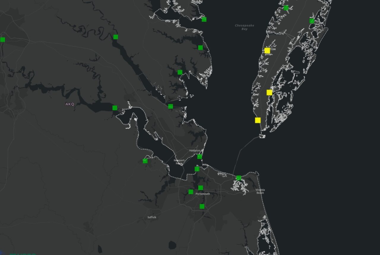
The City of Virginia Beach and our partners maintain a robust network of sensors to keep track of water levels, rainfall, wind, groundwater, water quality and air quality. Select the icons on the map below to access data.
Note: Sensor data is not reviewed in real time. Errors or time delays may exist. Use at your own caution.
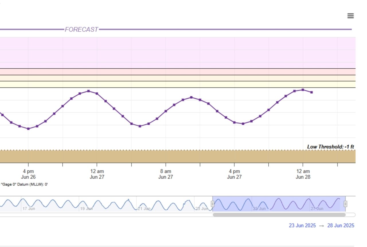
As part of an ongoing software transition, the StormSense network is currently unavailable on this platform. Users can use the National Water Prediction Service in the meantime to access data from selected gauges.
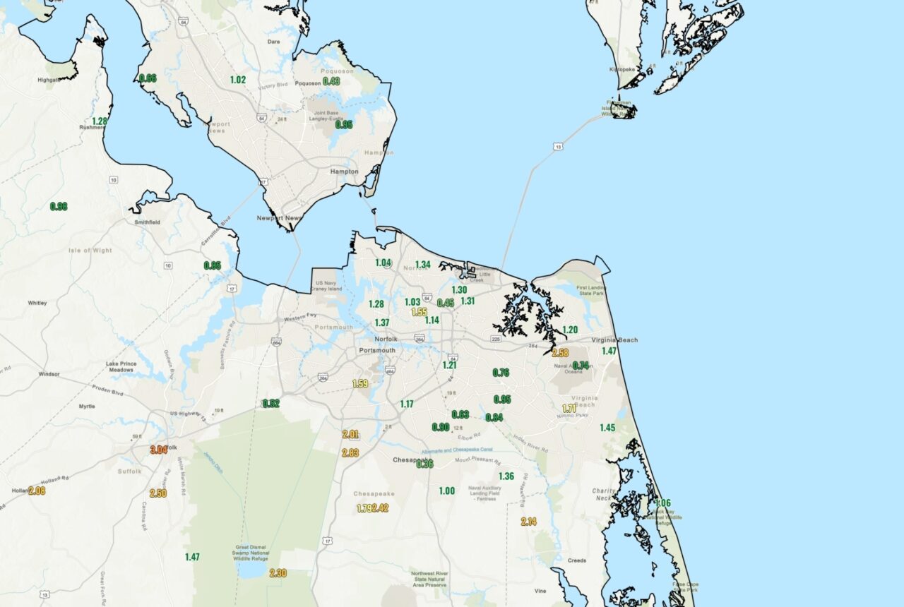
The link below provides high-water records from the past ten years for water-level monitoring locations across the city. These sites are monitored by the City of Virginia Beach in partnership with the U.S. Geological Survey (USGS) to provide real-time data and historical records. The list is updated as needed following flood events.